Severe weather warning issued

The Bureau of Meteorology has issued a severe weather warning for people in parts of WA southwest of a line from Kalbarri to Morawa to Dwellingup to Windy Harbour. This includes people in, near or between the following towns: Geraldton, Northampton, Jurien Bay, Mandurah, Bunbury, Bussleton, Margaret River and Bridgetown and the Perth Metropolitan area.

Weather Situation

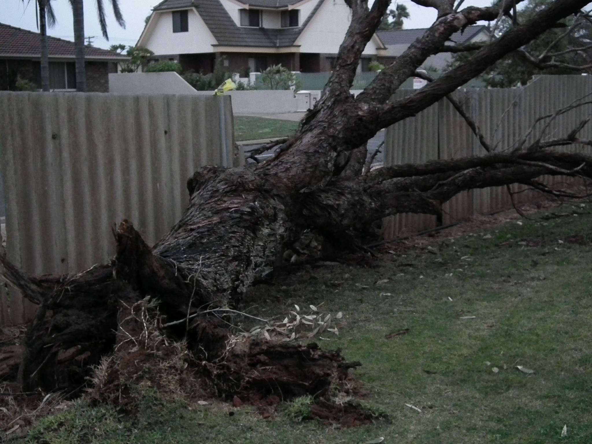
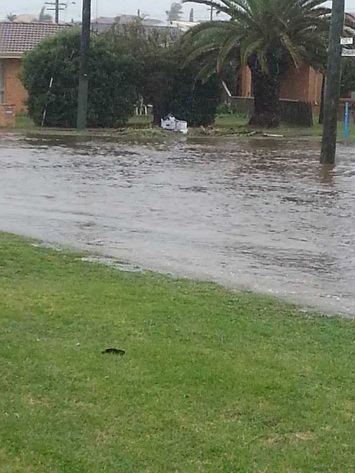
A strong cold front will move over the southwest of Western Australia during Tuesday and is expected to bring thunderstorms, gusty winds and a period of heavy rainfall to western parts of the South West Land Division. The leading edge of the cold front is expected to lie near the Southwest Capes near 8.00am Tuesday morning, moving through the metropolitan area late morning and to northern and eastern parts of the warning area early afternoon. The strongest wind gusts are likely to be on the leading edge of the cold front, with heavy falls on and to the west of the cold front.

Showers and thunderstorms with peak gusts around 125 km/h are forecast for the Lower West forecast district and parts of the Central West and South West forecast districts.

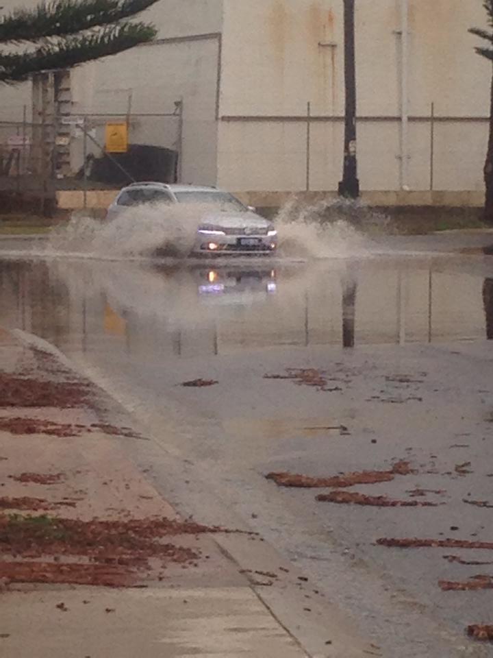
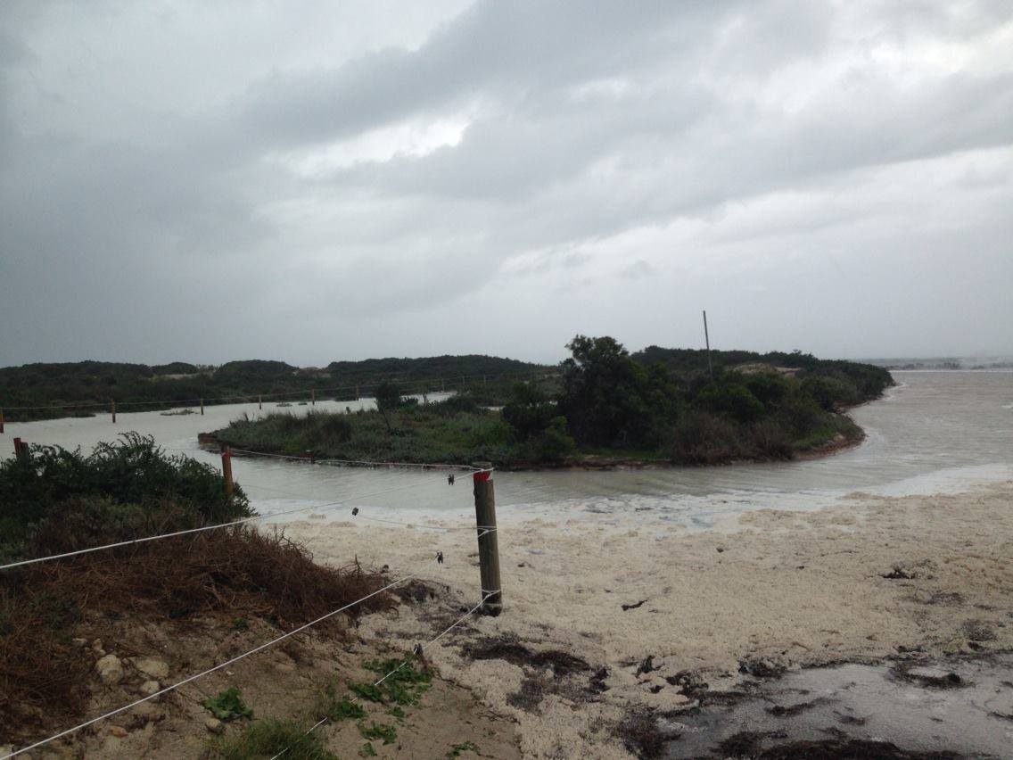
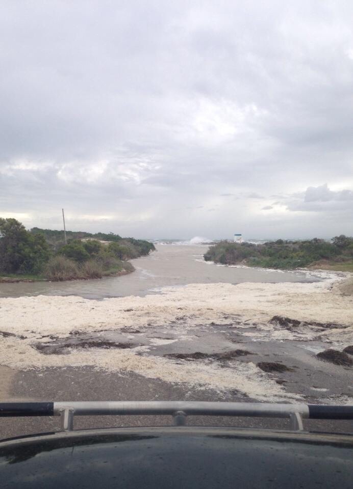
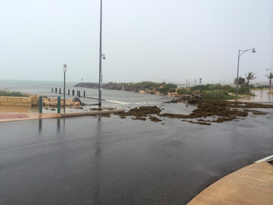
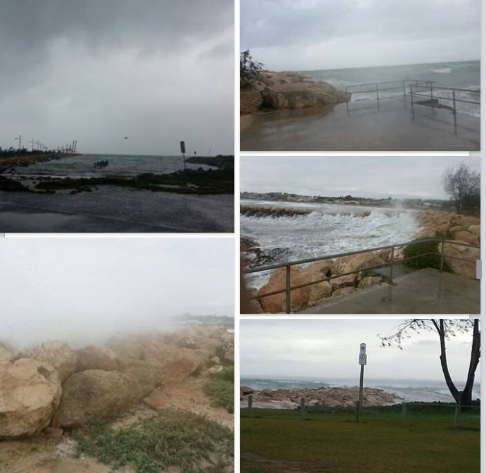
Abnormally high tides which may cause sea water flooding of low lying areas are forecast for the Central West and Lower West forecast districts and parts of the South West forecast district.

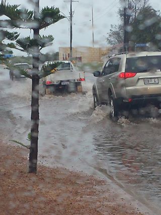
This is typical weather for this time of the year but winds may cause damage to property and make road conditions hazardous.

The Department of Fire and Emergency Services advises that people should:

  • Store or weigh down loose objects such as outdoor furniture.
  • Have an emergency kit with a battery operated radio, torch, spare batteries and first aid kit.
  • Ensure pets and animals are in a safe area.
  • Move vehicles under cover.
  • Boat owners should securely moor their boats.
  • Campers should find shelter away from trees, power lines, storm water drains and streams.

If your home or property has significant damage, like a badly damaged roof or flooding, call the SES on 132 500.

City to host Community Tree Planting days

Tree planting

As it’s now the start of the planting season and is the perfect time to enjoy the outdoors, the City of Greater Geraldton is hosting Community Tree Planting Days to help restore Geraldton’s beautiful bushland.

The planting days will take place over a six week period which started last Saturday June 7 at the Chapman River Estuary.

Following planting days include:

  • Saturday June 14 from 2pm to 5pm
  • Saturday June 21 from 2pm to 5pm
  • Saturday June 28 from 2pm to 5pm
  • Saturday July 5 from 2pm to 5pm

*Locations to be confirmed.

Everyone is invited to join and no gardening experience is required. Remember to wear clothes suitable to gardening including enclosed shoes, gloves and hat, and bring a hand spade if you own one.

City of Greater Geraldton Senior Sustainability and Environmental Officer, Robyn Nicholas, said the last planting day saw thirty people assist the sustainability team.

“Overall, 500 seedlings were planted, watered and protected from rabbits with corflute protectors into the Chapman River Estuary,” she said.

“Without community help and support we wouldn’t be able to achieve as much, everyone’s time and assistance is gratefully received.”

For more information visit the Million Trees Geraldton Facebook Page on www.facebook.com/milliontreesgeraldton or contact the Environmental Sustainability Team on (08) 9956 6600 or email council@cgg.wa.gov.au.

Off road vehicle study seeks local view

quad wheelie

Riders and local residents are being encouraged to provide input to a study that is exploring the feasibility of creating one more legal Off Road Vehicle Areas or trails in the coastal area between Lancelin and Kalbarri.

Two online surveys have been created - one for riders, and the other for local residents. The surveys, and more information about the project, can be found at http://tbma.com.au/nacc-orv

The study has been initiated by the Northern Agricultural Catchments Council (NACC) with funding from Coastwest.

NACC’s Coastal and Marine Program Coordinator, Dr Mic Payne explains that the explosion of ORV ownership in Western Australia has led to increased pressure on the coastal environment.

According to Dr Payne, “At present the entire coastline of the Northern Agricultural Region has only one gazetted area for Off Road Vehicles - just north of Lancelin - where trail and quad bikes that are not road-registered can be legally used.

“Coastal Rangers often report that Off Road Vehicle users are frustrated with the lack of legal facilities on the coast. Rangers maintain that the majority of the riders they speak to are keen to have clearly designated areas for their use.”

Project consultant, Steve Pretzel from Trail Bike Management, explains that the Rider Survey is designed to build an understanding of where people currently ride and the type of riding experiences that they are seeking, so the most suitable locations and terrain can be explored for a potential new area or legal trail network.

The Residents and Community Survey will identify the problem ‘hot spots’ and the specific concerns of people who live and work in the region.

Says Mr Pretzel: “Trail and quad bike riding is a popular activity, and it’s important to provide safe, legal opportunities for riders and their families. That’s the best way of discouraging people from riding in environmentally sensitive areas or where riding creates safety or amenity concerns.”

The surveys will remain open until June 30, and there will be further opportunities for public consultation once a short-list of potential areas has been identified.

To access the surveys, or for further information on the project see http://tbma.com.au/nacc-orv 

Today was the coldest day this year!

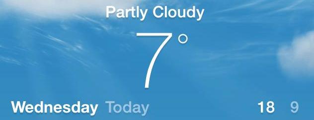
10466878_1420919261523217_1807230251_n Feeling cold today? That's probably because it's the coldest day we've had in 2014.

This morning it got to a reported 6.7 degrees, the coldest day so far this year.

The coldest day ever reported in Geraldton was 0.5 degrees, and that was on June 26th, 1973.

The average temperature this month is set to be 10.9 degrees and the record for the coldest June in Geraldton, with the average minimum temperature of 7.5 degrees, was in 1955.

It is set to get even colder over the weekend with temperatures dropping to 6 degrees. Stay warm!


Source: http://weather.mla.com.au/local-forecast/wa/geraldton


Did you see the sky today?

Did anyone else see the sky earlier today?It was like a rainbow around the sun, with the inside darker. 20140609-135331-50011283.jpg

Known as a 22 degree halo or a sun halo, the ring is caused by sunlight passing through ice crystals in cirrus clouds within the Earth's atmosphere, the University of Illinois' Weather World Project 2010 explains. (See WW2010's website for diagrams that illustrate how it works.)

via HuffPo

Discover our local wildflowers

10153276_1423527354571318_2711970241508905310_n Chapman River Friends will host two walks this weekend to help locals spot the bloom of early wildflowers.

The first walk will take place on Sunday, June 1st at 3pm with the second walk on Monday, June 2nd at 3pm.

The meeting points for both treks will be at Spalding Park.

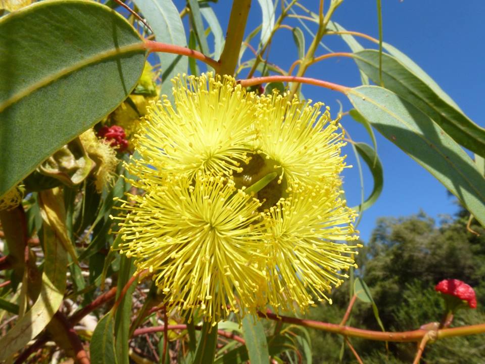
Chapman River Friends say it's not only a great way for people to discover the park but a great way to spot the beautiful wildflowers that are starting to bloom.

Wear protective gear, enclosed shoes and bring a hat and water bottle!

Additional disaster assistance for Durack communities

Federal Member for Durack Melissa Price has welcomed an announcement that southern Gascoyne communities impacted by severe flooding in late April would receive additional disaster assistance.

The assistance is being provided under the jointly funded Commonwealth-State Natural Disaster Relief and Recovery Arrangements (NDRRA).

“Earlier this month, I announced disaster assistance for the communities of Exmouth, Yalgoo and the City of Greater Geraldton who were impacted by severe flooding on 26 and 27 April,” Ms Price said.

“Today, I am pleased that Federal Minister for Justice Michael Keenan and WA Premier Colin Barnett have worked together to announce this additional assistance for the Shires of Ashburton and Murchison.

“Each of these shires will receive assistance for the restoration and replacement of public assets, such as roads, homes, businesses and farms that were damaged during the storms.”

The range of assistance available, subject to eligibility, includes:

  • Personal hardship and distress assistance for families and individuals
  • Interest rate subsidies for small businesses and primary producers
  • Freight subsidies for primary producers, and

• Financial assistance for local and state government authorities to assist with the restoration of damaged infrastructure and clean-up operations

Information about the range of assistance measures available can be found at www.dpc.wa.gov.au or on the Australian Government’s Disaster Assist website at www.disasterassist.gov.au 

Free entry to national parks over WA Day long weekend

Picture: DEC Environment Minister Albert Jacob said fees were being waived to celebrate the $21.05million Parks for People initiative.

“Parks for People is a State Government initiative to provide families and tourists with more affordable, high-quality camping holidays and visitor experiences,” Mr Jacob said.

“To celebrate this exciting initiative and our spectacular State, parks managed by the Department of Parks and Wildlife that usually charge fees will have free entry over the WA Day weekend.”

The Minister said more than 18,000 West Australians and tourists were expected to take advantage of the offer and visit these 30 parks over the WA Day long weekend.

“We hope free entry weekend will attract families to our magnificent parks and encourage them to use the long weekend to explore and enjoy nature,” he said.

“It is also a wonderful opportunity for those people who have never visited our parks to plan a trip and experience our unique and beautiful landscapes.

“There is something to suit every age and activity level, from watching the koalas over a picnic at Yanchep National Park, to paddling the Avon’s white waters in Walyunga National Park in Mundaring, or ‘going bush’ in the wilderness of King Leopold Ranges Conservation Park in the Kimberley.

“Through our Parks for People initiative, over the next four years, we are investing in about 450 new camp and caravan sites, along with new and improved visitor facilities and services, such as roads and lookouts.”

Restoration under way at Abrolhos Batavia site

In 1629, Beacon Island, off the coast of Western Australia, was the primary site of the historic Batavia shipwreck and the murderous mutiny that followed. Now the Government say it is being returned to a natural condition inline with its national heritage significance.
The Department of Fisheries has awarded a contract for demolition of built infrastructure on Beacon Island to Geraldton Building Services and Cabinets.
Fisheries Minister Ken Baston said the work was part of a $3.5million joint initiative between the Western Australian Museum and the Department of Fisheries to enhance the protection of the sites associated with the Batavia story.
“Ongoing habitation of this very important heritage site by commercial fishers is no longer appropriate and the State Government has helped them relocate their operations,” Mr Baston said.
“The project will return Beacon Island to a state of wilderness, much like it was when the Batavia survivors landed there nearly 400 years ago.”
The Minister said a draft visitor plan had been prepared for public access to the site and to allow visitors an interpretive experience into the incredible story of those involved in the Batavia wreck.
“In addition, the removal of the buildings will enable archaeological researchers to complete ground radar sensing work that hasnt been able to occur due to the current infrastructure,” he said.
“This will add to our knowledge of the historical events and improve our understanding of what happened to the Batavia survivors.”
Demolition works, overseen by Geraldton’s Eastman Poletti Sherwood Architects, begin today and are scheduled for completion in August.  Beacon Island is closed to the public while demolition work is undertaken.
The Abrolhos Islands are managed by the Department of Fisheries as an A-Class Reserve for the conservation of flora and fauna, as well as for purposes associated with the fishing and aquaculture industries and tourism.

Taking control of our beach wrack

P1010198

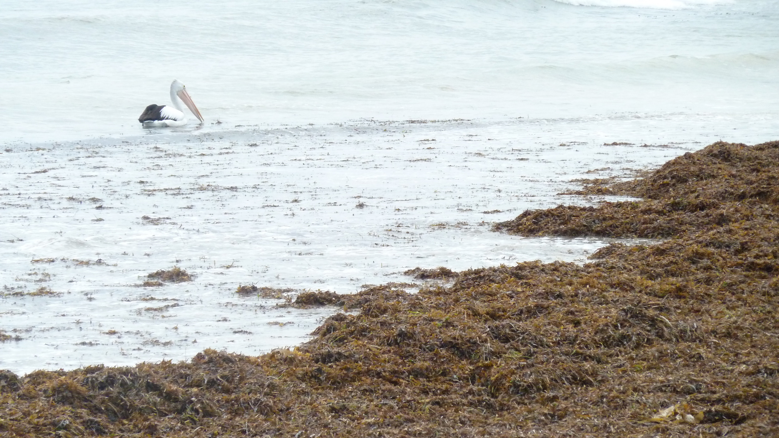
The usual winter blankets of seaweed and seagrass are again covering local beaches in abundance.

This mix of seaweed and seagrass, (collectively known as beach wrack) creates smells that can be considered a nuisance by some beach goers.

However, beach wrack plays a vital role in our coastal ecosystem by recycling nutrients back into food chains that include popular recreational fish species such as herring. Wrack also helps protect beaches from erosion by stopping waves washing sand away and assisting the formation of protective dunes.

The Northern Agricultural Catchments Council (NACC) is engaged in a project to discover how much wrack washes onto Geraldton beaches, what it is made of and what happens to it.

Learning more about wrack dynamics on our coast will help us strike a balance between wrack removal, or beach grooming as it is sometimes called, and maintenance of important coastal processes.

According to Dr Mic Payne, Coastal and Marine Program Coordinator at NACC, Some types of wrack are better at preventing erosion than others and it would be a sensible strategy to leave this wrack on eroding beaches such as Drummonds”.

The study will make use of video taken by an unmanned aerial vehicle (UAV) flying over beaches between Pages to Southgates. This video will be combined with on-ground photos taken at the same time to provide estimates of wrack volumes.

In addition to video and photos NACC, in conjuction with Edith Cowan University, will be organising wrack monitoring workshops in June to accurately measure beach wrack volumes, sort wrack into its different components and conduct invertebrate and nutrient sampling. 

If you are interested in these workshops or would like further information on this project please contact Felicity Beswisk on 9938 0108 or felicity.beswick@nacc.com.au. 

Sand moved from Pages Beach to Beresford Foreshore

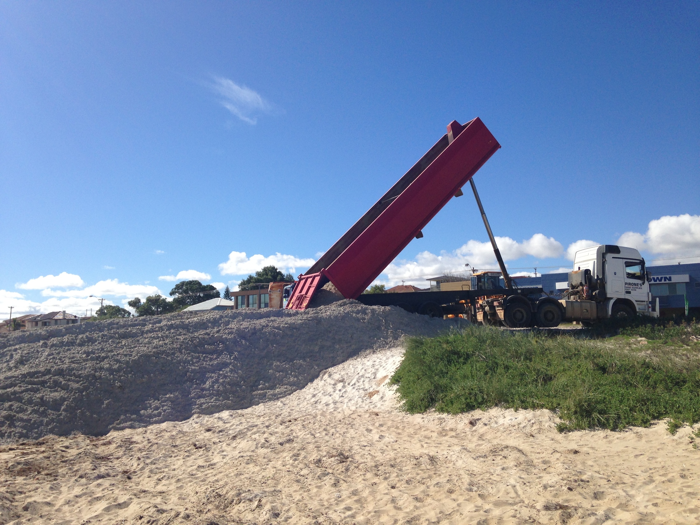
photo The Port Authority are underway in their transport of approximately 6,250m3 of sand from Pages Beach to Beresford Foreshore.

As part of the Northern Beaches Stabilisation Programme, the works began on Monday, May 19, and will conclude on Friday, May 23.

The purpose of the sand by-passing is to feed sediment into the longshore current operating in a northerly direction along the Geraldton coastline.

Through a coastal process known as littoral transport, the sand by-passing provides sediment to Geraldton’s northern beaches through the action of the breaking waves and the longshore current.

For further information on these works and the Northern Beaches Stabilisation Programme, contact Project Coordinator, Michael Dufour, on (08) 9956 6600 or email council@cgg.wa.gov.au.

Sand bypassing works to start on northern beaches

photo-11

As part of the Northern Beaches Stabilisation Programme the Geraldton Port Authority will be undertaking sand bypassing works between Monday May 19 to Friday May 23, 2014.

During this period the Port Authority will transport approximately 6,250m3 of sand from Pages Beach to placement sites along the Beresford Foreshore.

The purpose of the sand by-passing is to feed sediment into the longshore current operating in a northerly direction along the Geraldton coastline.

Through a coastal process known as littoral transport, the sand by-passing provides sediment to Geraldton’s northern beaches through the action of the breaking waves and the longshore current.

The City says the approach provides a cost-effective way of providing sediment to Geraldton’s northern beaches.

Traffic management will be in place to minimise the disruption to traffic in the area. Where appropriate a water cart will be used to suppress dust and sand movement off the placement sites.

To protect the shared pathway from damage by the sand bypassing transport trucks the Port Authority will place sand over the pathway for the duration of the works.

The sand will be removed on completion of the works. Working hours will be between the hours of 7.00am to 5.00pm for duration of the works.

For further information on these works and the Northern Beaches Stabilisation Programme, contact Project Coordinator, Michael Dufour, on (08) 9956 6600 or email council@cgg.wa.gov.au.

Geraldton's erosion problems

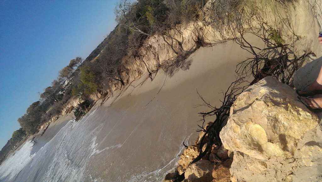
photo Weather and high swell around Geraldton's coast lately has caused more erosion to our beaches.

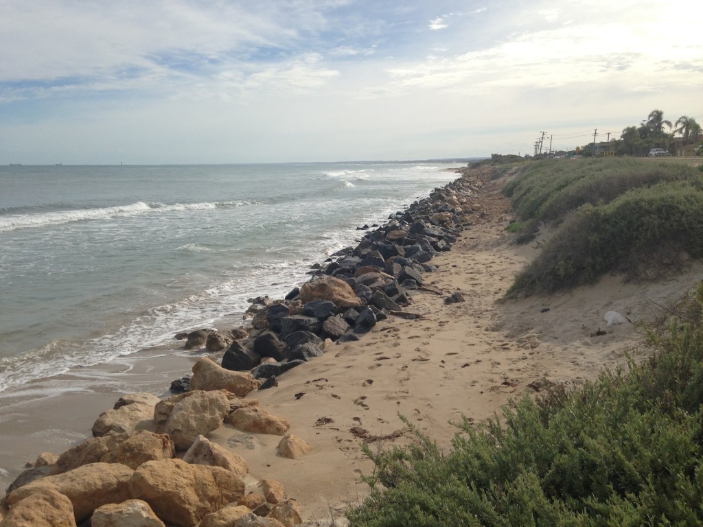
Drummond Cove and St George's are among the beaches that are showing increasing signs of erosion.

The City of Greater Geraldton have said they are working to alleviate erosion problems and work is being undertaken with additional rocks placed in Drummond Cove to protect infrastructure.

St George's Beach has been continually monitored over the past few months and temporary measures using a combination of rock, geo fabric and sand will be put in place to prevent further erosion impacting on infrastructure.

The City has also tried to obtain sandbags to help the situation but there is a delivery wait of up to 10 weeks.

City Director of Community Infrastructure, Neil Arbuthnot has said the current precautions were only a temporary fix.

"The current works will not be a permanent solution to protect the infrastructure; it is a short to medium term action to prevent further damage to infrastructure,” he said.

Figures support shark mitigation strategy

shark Fisheries Minister Ken Baston says the State Government’s shark mitigation policy is successfully restoring confidence among Western Australian beachgoers and greatly contributing to the scientific knowledge about shark behaviour.

In addition to the ongoing monitoring and researching of sharks and the continued partnership with Surf Life Saving WA for aerial and beach surveillance, he said the added protection of drum lines had gone some way to restoring confidence among swimmers, surfers and divers using Perth and South-West beaches.

Mr Baston said the drumline program had proved effective in complementing the other strategies.

“The drumline program is just one facet of the State Government's $22million Shark Hazard Mitigation Policy which also includes aerial and jet ski patrols, rapid response initiatives, tagging and research, the Sharksmart website and the Surf Life Saving twitter feed,” he said.

Thirty drum lines were removed from Perth's main beaches on April 30 and the same number from the South-West.

A total of 172 sharks were caught on the lines - 111 of them off the metropolitan coast - and 90 sharks were tagged before being released.

No previously tagged sharks were caught and 90 new sharks were tagged in drumline operations.

Fifty sharks larger than three metres were destroyed, including five over four metres.  Another 95 caught were bigger than two metres.

The largest shark was caught in February at popular Floreat Beach and measured 4.5m.

“The human toll from shark attacks in recent years has been too high,” the Minister said.

“Our carefully implemented policy targeted the most dangerous shark species known to be in our waters - white, tiger and bull sharks.

“While of course we will never know if any of the sharks caught would have harmed a person, this Government will always place greatest value on human life and I am pleased that these measures working in tandem with our research have gone some way to restoring confidence among beachgoers.

“Our beaches are some of the best in the world and I want future generations and visitors to WA to be able to enjoy them without the constant fear of shark attack.”

Mr Baston said the data collected in the drumline operation would complement existing and new research into shark movements in Western Australian waters.

“We continue to learn more about when and where dangerous sharks are prevalent,” he said.

“This will help researchers who are exploring shark hazard mitigation alternatives.”

Figures also show there were fewer beach closures in 2013-14 due to shark sightings, down from 131 closures in 2012-13 to 93 in 2013-14.

“I think the lower number of beach closures negates the fanciful arguments that the drum lines bring large sharks closer to shore,” the Minister said.

“At this point, it seems they do the opposite.”

The strategic hook design and daily monitoring of the drum lines has meant only eight marine animals were caught as by-catch, including a north-west blowfish and stingrays.

No marine mammals were caught.
Excavating begins for test pits on Beresford Foreshore

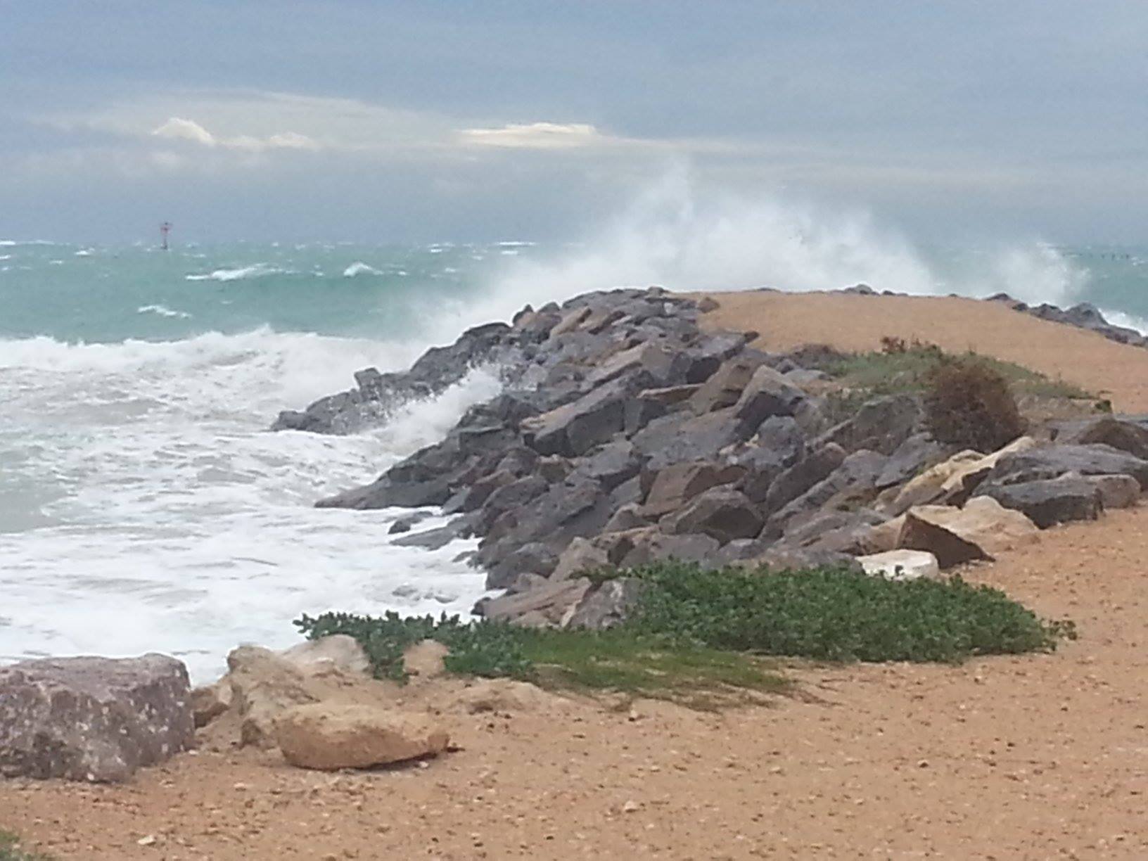
As part of the City of Greater Geraldton’s Beresford Foreshore Protection and Enhancement Project, geotechnical investigations will begin on the Beresford Foreshore, Tuesday May 6.

A local engineering company will excavate three test pits on the beach with a backhoe between the breakwater and Mark St at about 6.30am to coincide with the low tide.

The test pits will allow for the beach sediment to be assessed for properties including: sand colour and size, gravel inclusion, water level depth and the depth to rock/reef.

The backhoe will require access over the foreshore reserve and any access tracks created for the testing will be reinstated on completion of the works.

For further information or information on the Beresford Foreshore Coastal Protection and Enhancement Project contact Michael Dufour on 9956 6600 or council@cgg.wa.gov.au

Flood information for the Midwest Gascoyne region

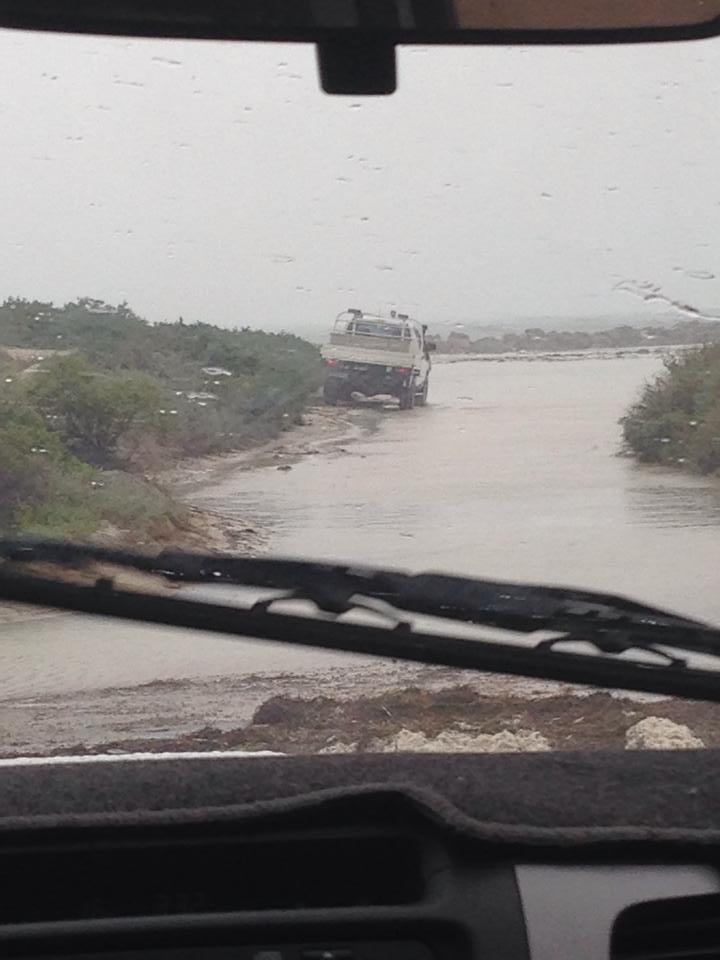
People in western parts of the Gascoyne should take care after rising water levels in local rivers and streams.   The Bureau of Meteorology advises the flood watch has been cancelled for the Gascoyne District.

WHAT TO DO:

DFES State Emergency Service (SES) advises you to:

  • Watch for changes in water levels so you are ready if you need to act.
  • Never walk, swim or play in floodwaters as they are dangerous.
  • Do not go near storm drains and pipes, ditches and ravines, as they are dangerous.

IF DRIVING:

  • Floodways and river levels may rise rapidly so be careful at crossings.
  • Obey road closure signs and do not drive into water of unknown depth and current.Take care on gravel and unsealed roads as they may be slippery and muddy, and you could get bogged.

ROAD CLOSURES: Some local roads may be closed.

Road information may also be available by calling Main Roads WA on 138 138 or visiting www.mainroads.wa.gov.au

FLOOD DETAILS: As at 10:50am on Monday 5 May 2014 the Bureau of Meteorology advises a low pressure system lies off the northern west coast, and is expected to cross the Gascoyne coast and weaken during Monday.

No significant rainfall is forecast for next 24 hours from 9am Monday.

Stream rises with areas of flooding are no longer expected to develop in coastal areas of the Gascoyne District during Monday through to Tuesday.

Current river levels are available from the Department of Water athttp://www.water.wa.gov.au/.

IMPORTANT NUMBERS:

  • For SES assistance call 132 500
  • In a life threatening situation call 000
  • For the latest flood information call 1300 659 213 or visitwww.bom.gov.au/wa/flood
  • For information about road conditions and closures contact local Police or Main Roads WA on 138 138.

KEEP UP TO DATE: Visit www.dfes.wa.gov.au, call 13 DFES (13 3337), follow DFES on Twitter @dfes_wa or listen to news bulletins.

No further updates will be issued.

Coast impacted by 3.4m swell

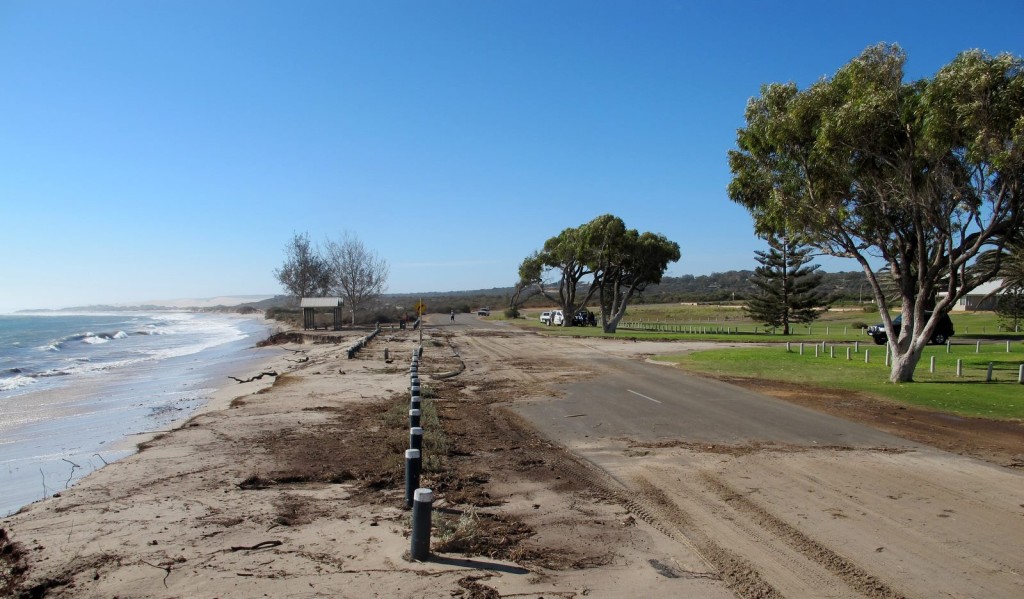
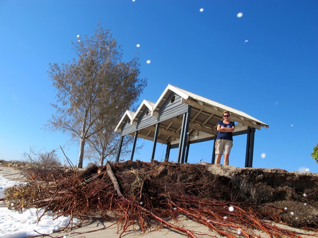
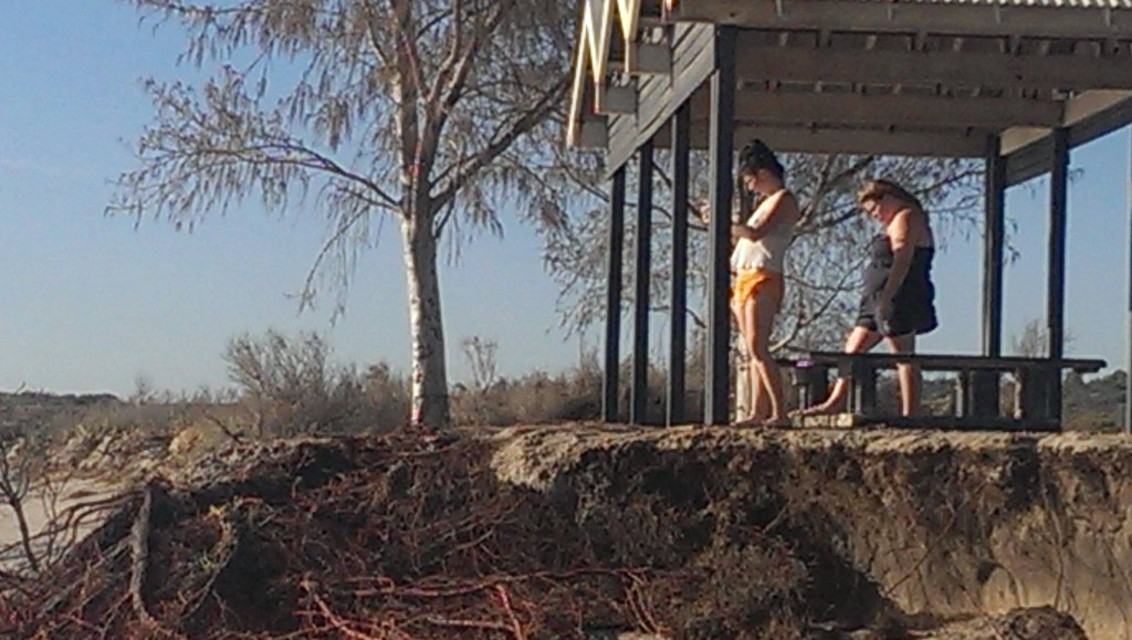
A 3.4m swell on Good Friday has caused major erosion along Geraldton's coastline. Drummond Cove was hit hard with the powerful swell causing extensive damage to trees, exposing roots and the tide swept over Whitehill Road.

Seating and undercover areas along the beach also look as though they will soon be damaged.

The swell is set to peak at 2.9m over the weekend.

902328_10203274880490556_5960478516638724554_o

10293732_10203274880890566_3363469953852911095_o

1890413_860496287310135_1859551617675248164_o

1596770_860495997310164_1086572118992624178_o