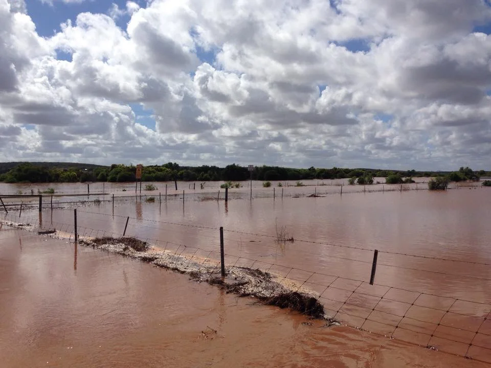
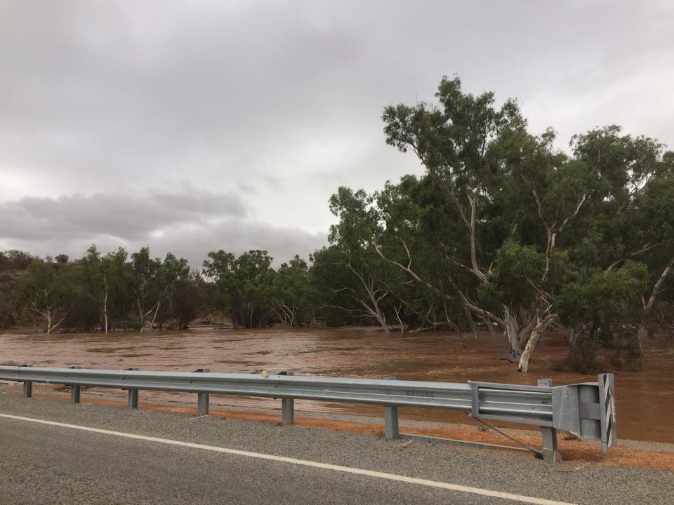
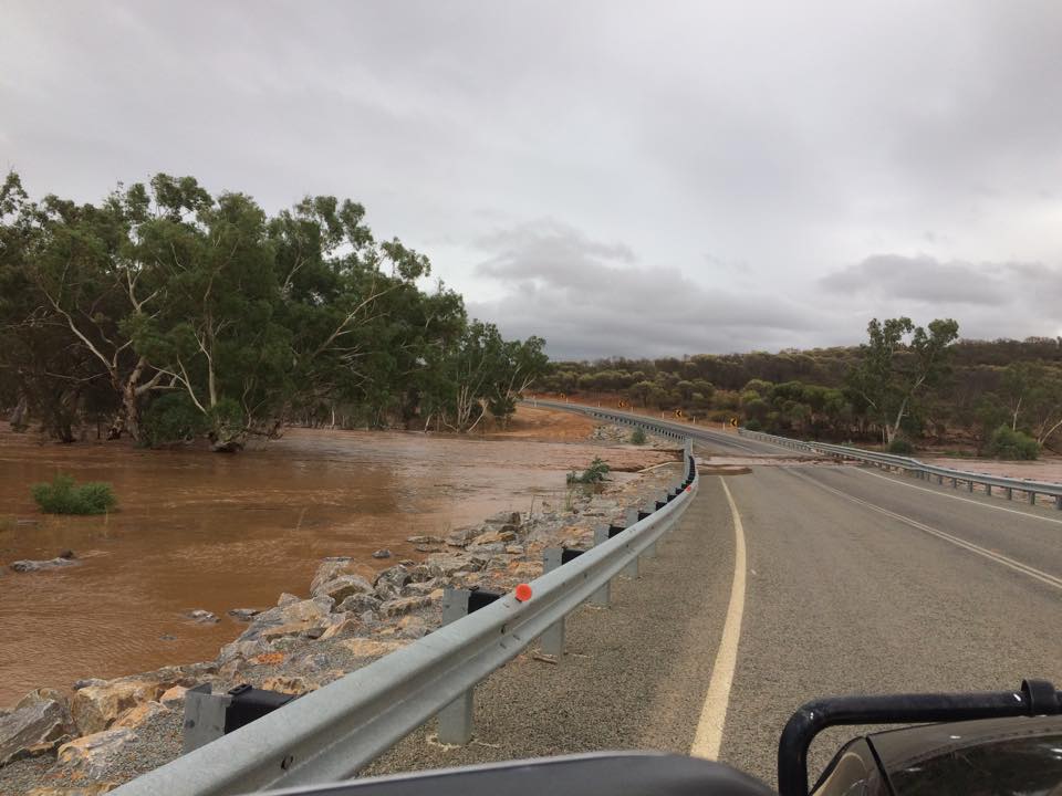
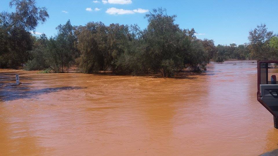
Missing couple in the Mid West Gascoyne Region – JENNIE & RAYMOND KEHLET

‪#‎canuhelp‬? - missing couple in the Mid West Gascoyne Region.....

MISSING COUPLE – JENNIE & RAYMOND KEHLET

Police are seeking information regarding 49 year old Jennie Anne KEHLET and 47 year old Raymond Keith KEHLET, who were last seen at the area called Table Top just out of Sandstone on Sunday 22 March 2015.

Jennie is described as fair skinned, with a medium build, approximately 157cms tall, with brown hair and green eyes.

Raymond is described as fair skinned, with a medium build, approximately 170cms tall, with brown hair and blue eyes.

Jennie was last seen wearing a yellow florescent coloured work shirt and Raymond was wearing all blue.

Police were alerted to the couple not being seen for over a week yesterday and a land and air search have been underway since then. Police from Mount Magnet, Morawa and Geraldton are involved in the search, as well as SES Volunteers, Shire Workers and residents.

Police and family hold concerns for the welfare of both Jennie and Raymond.

If you have any information regarding the couple, or know their whereabouts, please call Police on 131 444 or Crime Stoppers on 1800 333 000.

School warns parents after a child is approached by persons in vehicle

Have you had the "stranger danger" talk with your child recently?

Wandina Primary School has sent a letter home to parents today asking them and their children to be extra vigilant after a child was reportedly approached by a person/s travelling in a vehicle in the Mt Tarcoola / Wandina area. 

The incident has been reported to Police who are investigating. 

The school reminded parents and children to report anything suspicious to their parents, police and school and provided some other safety tips to help children stay safe.

  • Always travel in a group.
  • Walk on the right hand side of the road so they face oncoming traffic. 
  • Wherever possible, leave space between them and the roadway. 
  • Stay in areas that are well lit. 
  • Stay in view - avoid going into areas that are hidden from view (such as parkland bush or behind shopping centres) and plan trips to avoid such locations. 
  • Be alert - earphones and headphones can reduce awareness considerably. 
  • If they have a mobile phone, have it turned on and ready to dial an emergency number. 
  • If a passing car stops nearby, never get too close. 
  • Provide this advice to brothers and sisters, especially if younger. 
  • Report suspicious behaviour to parents, the school and Police, noting number plates of car and/or clothing or distinguishing features of individuals. 

Emergency: 000
Police: 13 14 44
Geraldton Police station: 9923 4555 (option 4)

Storm Alert

The following alert has been issued by the Department of Fire and Emergency Services (DFES).

Time of issue: 3.40pm
Date of issue: 26 March 2015

Continue to take action with severe thunderstorms west of a line from Paynes Find to Mount Augustus

If you live west of a line from Paynes Find to Mount Augustus you should take action and stay safe with continuing severe thunderstorms.

This includes people in and near Geraldton and Northampton. This does not include Kalbarri, Denham, Carnarvon, Cape Cuvier and Coral Bay, however non severe thunderstorms are still possible.

This is not unusual weather for this time of year but could damage homes and make travel dangerous.

WHAT TO DO:
DFES has these tips to help you and your family stay safe: 

  • Close your curtains and blinds, and stay inside away from windows. 
  • Unplug electrical appliances and avoid using landline telephones if there is lightning. 
  • If caught outside find safe shelter away from trees, powerlines, storm water drains and streams. 
  • If there is flooding, create your own sandbags by using pillow cases filled with sand and place them around doorways to protect your home. 

IF DRIVING:

  • Do not drive into water of unknown depth and current. 
  • Slow down, turn your lights on and keep a safe distance from other drivers. 
  • Be alert and watch for hazards on the road such as fallen powerlines and loose debris. 
  • If it is raining heavily and you cannot see, pull over and park with your hazard lights on until the rain clears. 
  • Be careful driving on gravel roads as surfaces will be slippery and muddy and vehicles could become bogged.

THUNDERSTORM DETAILS:
As at 3.35pm on 26 March the Bureau of Meteorology advises that there is a risk of severe thunderstorms this afternoon and evening. At 3:20pm radar and satellite imagery showed thunderstorms in parts of the warning area. 

A severe thunderstorm about 30km north of Geraldton (just south of Horrocks) is moving to the south and is expected to move over Geraldton between 3:40pm and 4:30pm.

The warning does not cover coastal locations north of Kalbarri, however non severe thunderstorms are still possible.

Storms may be accompanied by damaging winds, large hail and heavy rainfall which may lead to flash flooding. Storms could cause significant damage to homes and property.

IMPORTANT NUMBERS: 

  • If your home has been badly damaged by a storm call the SES on 132 500.
  • In a life threatening situation call 000. 

  • For the latest weather information visit www.bom.gov.au or call 1300 659 213

After a storm State Emergency Service (SES)volunteers make temporary repairs to homes that have been badly damaged, such as roofs that have been ripped off or large fallen trees on homes and cars. Please contact your insurance company to organise permanent repairs.

KEEP UP TO DATE:
Visit www.dfes.wa.gov.au , call 13 DFES (13 3337), follow DFES on Twitter @dfes_wa or listen to news bulletins.


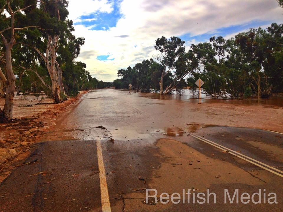
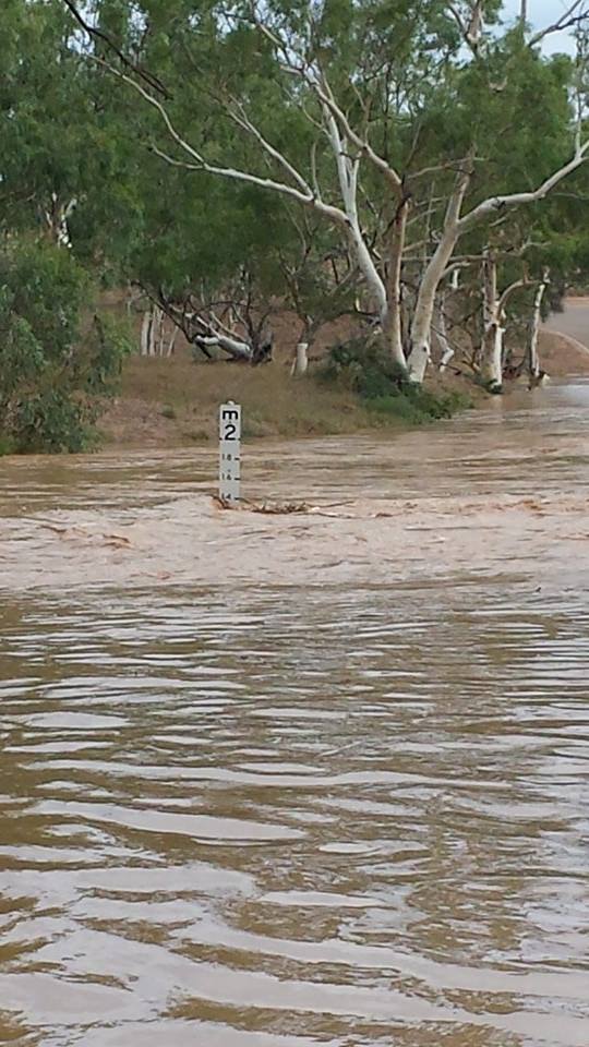
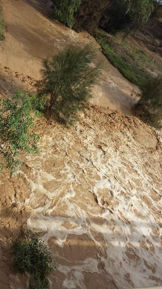
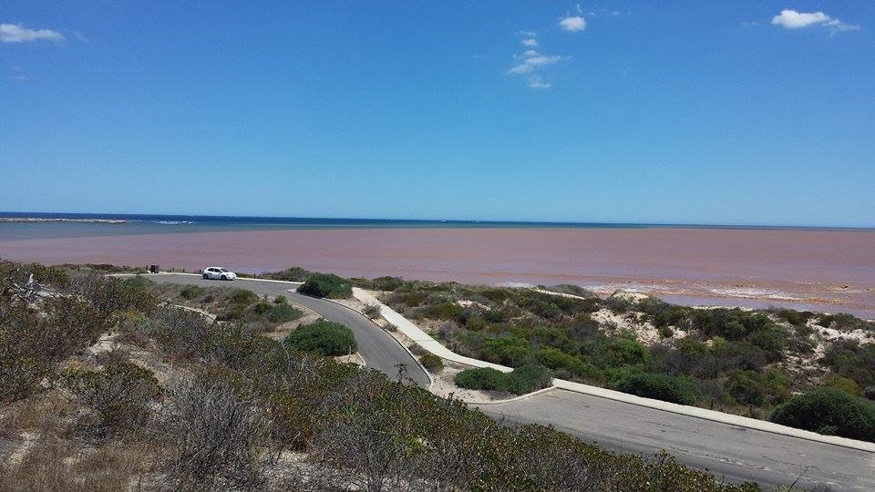
Thanks Fallon for sending this pic in.  

Flooding south of Geraldton; Road Closures Alert

COMMUNITY SERVICE ANNOUNCEMENT

Road closures for Mid West region

March 16, 2015

Following Tropical Cyclone Olwyn last week, flooding has caused several road closures in the Mid West region.

The City of Greater Geraldton would like to advise residents that the convict bridge on McCartney Road in Greenough is closed and those travelling from the west side of the Convict Bridge will need to exit via the S-Bend on Brand Highway. This will be assessed this afternoon and updates will be provided. 

The following roads are also currently closed to traffic:

·         Ramsay Road 

·         Minninooka Road 

·         Arthur Road 

·         Ellendale Road 

·         Evans Road 

·         Hamersley Road 

·         Edwards Road 

·         West Bank Road 

·         Phillips Road 

·         McCartney Road West

Authorities wish to advise that water is expected to breach the Walkaway Bridge which will close the Walkaway Townsite. Updates will be provided throughout the day. 


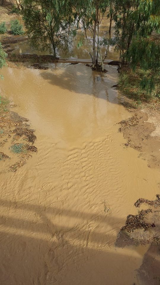
Mark set these pics in. 

Christine shared this one of Evans Rd Walkaway.  

Kevin shared this one.  

Kevin shared this one.  

Mark shared this one around 10:40am saying water is still rising quickly.  

All clear given


Time of issue: 9.30am

Date of issue: 14 March 2015 

CYCLONE ALL CLEAR advice for Billabong Roadhouse to Jurien Bay in the Midwest Gacsoyne 

COMMUNITY ALERT LEVEL:
A CYCLONE ALL CLEAR advice is current for people in ornear the coastal and inland communities of Billabong Roadhouse to Jurien Bay, following the weakening of Ex-Tropical Cyclone Olwyn.  

The threat has passed but take care to avoid the dangers caused by damage. 

WHAT TO DO:
DFES advises: 
 

  • It is now safe to return home. 

  • If returning, take the roads recommended by authorities and do not hurry,obey road closure signs and do not drive into water of unknown depth and current. 

  • Drive slowly and be aware of emergency services personnel who are still working in the area. 

  • Be careful of fallen powerlines and trees, broken water and sewage pipes, loose roof sheeting and other material. 

  • Do not walk, swim or play in floodwaters as they are dangerous.  

  • Some services such as power and telephones may not be working. Service providers will be working to restore these as soon as they can.   

IF YOUR HOME HAS BEEN DAMAGED: 

  • Call the State Emergency Service (SES) on 132 500 if you need help. 

  • Protect your feet with closed shoes. 

  • Stack loose material clear of water metres, valves and telephone lines. 

  • Keep electricity and all appliances turned off until checked by an electrician. 

  • Have gas appliances inspected and cleaned before use. 

  • Never use matches, cigarette lighters or naked flames when entering a building due to the potential of flammable gas. 

  • Take photographs for insurance purposes. 

  • If you need a place to stay seek help from welfare agencies or use your personal camping equipment including tents, cooking gear and generators.  

ROAD CLOSURES: 
Main Roads advises the North West Coastal Highway is now open from Geraldton to the Kalbarri turn off and the Northampton Kalbarri Road now open.  

The following roads remain closed; 

  • North West Coastal Highway from Nanutarra Roadhouse to Ajana-Kalbarri Road
  • Northampton Kalbarri Road
  • Shark Bay Road 
  • Minilya Exmouth Road 
  • Coral Bay Road
  • Burkett Road
  • Ajana Kalbarri Road 
 

Motorists are adives to drive with caution through cyclone affected areas while the recovery effort is stil underway.  

CYCLONE DETAILS:
As at 9.04am the Bureau of Meteorology advises Ex-Tropical Cyclone (TC) Olwyn, now a Tropical Low, sustained winds near the centre of 55 kilometres per hour with wind gusts to 85 kilometres per hour. The Tropical low is now estimated to be 45 kilometres east of Geraldton and 50 kilometres southwest of Mullewa moving south southeast at 22 kilometres per hour.

Ex-Tropical Cyclone Olwyn lies to the east of Geraldton and has weakened below cyclone intensity. Although the system has been downgraded there is still the possibility of damaging winds and heavy rainfall to the east of the system in the south Gascoyne and central and eastern parts of the Southwest Land Division. 

A SEVERE WEATHER WARNING is current for parts of the Southwest Land Division and adjacent parts of the Gascoyne within an area bounded by Kalbarri to Mount Magnet to Southern Cross to Hopetoun to Albany to Moora to Kalbarri


INCIDENT INFORMATION:
DFES damage assessment teams in Carnarvon, Coral Bay and Shark Bay are working to make roads safe for driving by removing fallen trees and working with Horizon Power on fallen lines. 

A detailed recovery statement will be released to media shortly. 

DFES is working closely with other agencies to minimise the impact on the community.  

IMPORTANT NUMBERS  

  • For SES assistance call 132 500.  

  • In a life threatening situation call 000.  

  • For the latest weather information visit www.bom.gov.au or call 1300 659 210.  

  • For information about road conditions contact Main Roads WA on 138 138 or visit www.mainroads.wa.com.au   

  • To report downed powerlines call Horizon Power on 13 23 51.

Businesses instructed to close - $50,000 fines could apply

Geraldton Police have instructed all businesses to close and cease trading. The emergency level is currently at Yellow Alert. 
Any business continuing to operate may face fines of $50,000, so please close your doors and stay safe.

Yellow Alert


A YELLOW ALERT is current for people in or near Kalbarri to Dongara and inland to Mullewa.  

This includes Port Gergory, Horrocks, Nabawa, Geraldton and Greenough. 

There is a possible threat to lives and homes as a cyclone is approaching the area. People need to take action and get ready to shelter from a cyclone .  

WHAT TO DO:

DFES advises:     

Fasten all cyclone screens, secure boats, caravans, trailers, garden sheds, outdoor furniture, rainwater tanks and LPG bottles.      

Move vehicles under cover.      

Ensure pets and animals are in a safe area.     

Pack a relocation kit to be taken with your emergency kit.

NWCH closed at 440 from 8pm - Sandbags available if needed

Travellers are advised not to travel north with roads being closed as the cyclone travels further south. NWC Highway will be closed from the 440 Roadhouse at 8.00pm.

If you need sandbags go down to the Geraldton-Greenough SES unit on the corner of Edwards and Davies Road. If you’re at Drummond Cove, sand bags are available from John Batten Hall from this afternoon

Geraldton residents urged to prepare

DFES warns residents and travellers of widespread cyclone risk

The Department of Fire and Emergency Services is urging communities as far south as Perth and the South West to prepare their homes and families for dangerous weather, as Severe Tropical Cyclone Olwyn moves down the Western Australian coast.

The Bureau of Meteorology is predicting that category 3 Olwyn will gradually weaken as it tracks south along the coast, through Carnarvon and Geraldton, but could still pose a danger when it reaches Perth during Saturday.

DFES Assistant Commissioner Darren Klemm said people need to prepare their homes and families, and keep up to date.

"We urge people, especially those in Geraldton, to get ready now by preparing their homes, ensuring they have emergency supplies and be sensible by taking shelter as the cyclone passes,” Assistant Commissioner Klemm said.

"People in Geraldton should be aware that shops could close early this evening, so you should stock up on essential provisions this afternoon.

"If a Yellow Alert is issued for Geraldton, people will need to stay indoors and businesses will close.”

"Those in the Perth metropolitan area should clean their gutters and ensure any loose items are secured.

"Anyone planning a weekend camping or road trip should reconsider, and anyone already camping should relocate to a safe area.

"People from Coral Bay to Wooramel, including Carnarvon, are under a Red Alert and need to remain inside until the All Clear is given.

"We encourage people to keep up to date by checking the DFES and Bureau of Meteorology websites, calling the Emergency Phone Line (13 DFES) or listening to local emergency broadcasts.”

Bureau of Meteorology WA Regional Director Mike Bergin said Olwyn was expected to move southwards through the South West Land Division on Saturday.

"There is the possibility of heavy rainfall, damaging squally winds and abnormally high tides along the west coast,” Mr Bergin said.

"This will include the Perth metro area.”

"There is particular concern for Geraldton, which has not seen a cyclone since Cyclone Hazel in 1979.”

DFES personnel and emergency services volunteers are monitoring developments and undertaking necessary preparations.

Incident management teams have been established to advise the community and help people that may be impacted by the cyclone.

For more information, visit the DFES website at www.dfes.wa.gov.au/.

Publications including Cyclone Smart and Prepare for a Storm are also available for download.

WHAT TO DO:

  • Get ready for dangerous weather by preparing your home inside and out. 
  • Secure or remove loose material from around your home. 
  • Ensure your emergency kit is complete and includes a torch, battery-operated radio, food, mobile phone and essential medications.
  • Fill up your fuel tank well before the storm is due to arrive.
  • Check your family knows what to do.
  • Avoid all non-essential travel. 
  • If youare planning travel over the weekend you should reconsider your plans.

IMPORTANT NUMBERS:

  • For SES assistance call 132 500 
  • In a life threatening situation call 000 
  • For the latest weather information call 1300 659 210 or visit www.bom.wa.gov.au
  • For information about road conditions and closures contact local Police or Main Roads WA on 138 138 
  • To report downed powerlines call Horizon Power on 13 23 51.
Traffic Management Alert

Tru-Line Traffic Division will be looking after traffic management for the City of Greater Geraldton area including Mullewa. 

As such Tru-Line will be setting up from 9pm tonight a comminucations area located in the carpark of the old hospital on the corner of Bayly and Chapman Rd. Should you require assistance please drop in. 

For emergencies only contact Stewart Stellmaker - Traffic Manager on 0409 119 265. Tru-Line would like to advise all members of the public to please drive carefully as we will have personnell out on the roads. 

Please be patient and we will assist where possible. Thank - you

Prepare now for severe weather

The following alert has been issued by the Department of Fire and Emergency Services (DFES).

Time of issue: 4.30pm
Date of issue: 12 March 2015


Prepare now for severe weather for Kalbarri to Mandurah 


If you live between Kalbarri to Paynes Find to Southern Cross to Mandurah you need to prepare your home and family now for severe weather coming on Saturday.   

This includes people in Perth metropolitan area, Mandurah, York, Dalwallinu, Jurien Bay, Geraldton, Northampton, Kalbarri and surrounding areas.  

This is very unusual weather that could cause significant damage to homes and make travel very dangerous.  


WHAT TO DO: 
DFES has these tips to help you and your family prepare before the bad weather starts: 


  • Trim branches around your home to prevent them falling on your roof or car.  

  • Clear gutters and downpipes so they do not overflow after heavy rain.  

  • Store or weigh down loose objects around your home or work like outdoor furniture that could be picked up and thrown by strong winds, causing damage or injury.  

  • Prepare an emergency kit with a battery operated radio, torch, spare batteries and first aid kit.  

  • Organise an emergency plan, including a relocation plan for your family and pets in case your home becomes flooded.  

STORM/THUNDERSTORM/WEATHER DETAILS: 
As at 3.59pm on Thursday 12 March 2015 the Bureau of Meteorology advises Tropical Cyclone Olwyn is expected to weaken in northern parts of the Southwest Land Division during Saturday morning and the remnants of the system will move in a south south-east direction thorough central and western parts of the Southwest Land Division during the day.

Heavy rainfall and damaging winds will be in parts of the warning area north of Jurien Bay to Paynes Find during the early morning before moving into the remainder of the warning area north of Mandurah to Southern Cross by the middle of the day.

On Saturday the ex-tropical cyclone will produce heavy rainfall which may lead to flash flooding. Widespread damaging winds to 100 kilometres per hour that could result in damage to homes and property. 

During Saturday afternoon and evening the system will move further south affecting remaining parts of the Southwest Land Division west of Southern Cross to Hopetoun.

IMPORTANT NUMBERS:


  • If your home has been badly damaged by a storm call the State Emergency Service (SES) on 132 500  

  • In a life threatening situation call 000  

  • For the latest weather information visit www.bom.gov.auor call 1300 659 213.  

After a storm SES volunteers make temporary repairs to homes that have been badly damaged, such as roofs that have been ripped off or large fallen trees on homes and cars. Please contact your insurance company to organise permanent repairs.  


KEEP UP TO DATE:
Visit www.dfes.wa.gov.au, call 13 DFES (13 3337), follow DFES on Twitter @dfes_wa or listen to news bulletins.

Alert: Road closures following rains

 COMMUNITY SERVICE ANNOUNCEMENT

Road closures for Mid West region

March 5, 2015

Following wide spread storms in the Mid West region over the weekend, the following roads closures are still in place.

  • Short Road at floodway (Closed)
  • Arthur Road at Floodway (Closed) Closure set at Arthur Rd and Walkaway-Nangetty Rd intersection.
  • Minennooka floodway (Closed) Closure set at Aruthur Rd and Minenooka Rd intersection and also on Sandsprings & Minenooka Rd intersection.
  • Ellendale Pool Floodway (Closed) 
  • Ramsay Floodway (Closed)
  • Phillip Road Floodway  (Closed)
  • West Bank Rd Floodway (Closed)
  • Hamersley St Floodway (Open)
  • Evans Rd Floodway (Open)
  • Carnarvon Mullewa Road closed at the river crossing
  • Yuna Tenindewa Road Closed at Nundamurra Crossing 
  • McCartney Road (Convict Bridge) closed

Roads Closure Alert

In the Interest of Public Safety and at the Request of the City of Greater Geraldton: 


The Following Roads are Closed Due to Flooding, Closures will remain in place for at least 24 Hours: 

- Arthur Road 
- Short Road 
- Allanooka Springs Road 
- Ellendale Pool Road 
- Moonyoonooka Road 

Updates will follow when avaliable. 

For further Information please Contact: 

Tru-Line Excavations & Plumbing PL 
Stewart Stellmaker on 0409 119 265


Alert from B.O.M.; & Videos and Images of rivers in the area

Email your videos or photos to geraldton@justeverything.com.au or message us on Facebook. 


Dave R. sent these images and a video of "Depot Hill Mingenew river full and flowing fast."


Dave B. sent in a couple of images from Ellendale Pool


Nik sent in these of the Irwin River


Shona sent a couple from Irwin river @ milo crossing

And some from Mountain bridge, on midlands road about 10 or so k's east of Dongara towards Mingenew.

... and this video


Blake sent this one in of the Greenough River


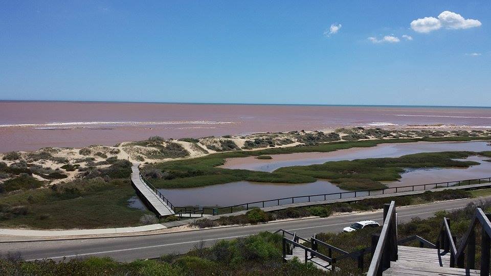
Shona also sent in some today of Dongara Beaches: Rivermouth wide open


Email your videos or photos to geraldton@justeverything.com.au or message us on Facebook. 

Alert: Flood Warning for the Greenough and Irwin River Catchments


Flood Warning for the Greenough and Irwin River Catchments

Issued at 7:17 pm WST on Monday 2 March 2015

Western Australia Flood Warning Centre 

Heavy rainfall recorded for the 24 hours to 9am Monday has caused significant stream rises in the upper and middle areas of Greenough River and Irwin River Catchments.

The river levels in the lower areas of Greenough River and Irwin River are expected to rise overnight Monday and into Tuesday.

Predicted River Heights/Flows:

The Greenough River at Eradu is expected to peak at minor flood level (3.5 metres) overnight Monday.

The Greenough River at Karlanew Peak is expected to reach minor flood level (2.5 metres) during Tuesday morning.

The Irwin River at Dongara is expected to peak at 4.5 metres (minor flood level 5.0 metres) overnight Monday.

DFES advises people and communities to be aware that flooding is possible and be prepared to relocate equipment and livestock. Watch water levels. Travellers need to be aware that road conditions may be adversely affected and travel plans may need to be reconsidered. Do not drive into water of unknown depth and velocity.

Community information is available from DFES at www.dfes.wa.gov.au

Current river levels are available from Department of Water at www.water.wa.gov.au

This warning is available by dialling 1300 659 213. Warnings, rainfall and river information are available at www.bom.gov.au/wa/flood/

click here for more info.  

Weather Forecast:

For the latest weather forecasts see www.bom.gov.au/wa/forecasts/

Next Issue:

  • The next flood warning for the Greenough River catchment will be issued by 11 am Tuesday.

Information on road conditions contact Main Roads WA Customer Contact Centre on 138 138 or at www.mainroads.wa.gov.au


(Images sent in by Nic Johannsen and Shona Morton)


Smoke Update - Geraldton clouded in smoke

Smoke Update: We've just got off the phone to DFES and they said they are getting many calls about smoke around the state today. There's been fires in Clackline/Northam area, as well as the metro area. They also suggested fires in the Kalbarri area may be contributing to the smoke, although the wind seems to be coming from the south. They were unable to specify exactly which fire is causing the smoke in Geraldton.

Total Fireban for Wednesday 4 Feb

 Total Fire Ban for central and southern parts of Western Australia for Wednesday 


A Total Fire Ban has been declared for Wednesday 4 February 2015 for all local governments in the Perth Metropolitan, Midwest-Gascoyne, Goldfields-Midlands, South West, Lower South West and Great Southern Regions.
 
This includes all of Western Australia, except for the Pilbara and Kimberley. The ban has been declared due to current thunderstorm activity, resourcing requirements and the two large fires in the State's South West. 
 
On Wednesday 3 February 2015  any activity that could start a fire is banned.  

This means: 

  • You must not light or use any fires in the open air 

  • All open fires for the purpose of cooking or camping are not allowed  

  • Hot work such as metal work, grinding, welding, soldering, gas cutting or similar is not allowed unless you have an exemption 

  • You must not undertake any other activities that may start a fire. 

If a Harvest and Vehicle Movement Ban has not been implemented by your local government you are able to harvest or move vehicles across paddocks for agricultural purposes. 

You could be fined up to $25,000 or jailed for 12 months or both if you ignore the Total Fire Ban. 

For information on activities that can or cannot be carried out during a Total Fire Ban visit www.dfes.wa.gov.au/totalfirebans/Pages/TotalFireBanWhatCantIDo.aspx

If the information you want is not available from the website, telephone the Total Fire Ban Information Line 1800 709 355

This information is also available by visiting www.dfes.wa.gov.au

Weather Alert and SES contact information

The community is advised that the SES is able to assist with damage to property, flooding or other incidents related to the storm. 

Geraldton SES have responded to a number of calls for assistance this weekend. 

IMPORTANT NUMBERS:
• If your home has been badly damaged by a storm call the SES on 132 500 
• In a life threatening situation call 000 
• For the latest weather information visit http://www.bom.gov.au/  or call 1300 659 213 

After a storm State Emergency Service (SES) volunteers make temporary repairs to homes that have been badly damaged, such as roofs that have been ripped off or large fallen trees on homes and cars. Please contact your insurance company to organise permanent repairs. 


Severe Thunderstorm Warning
for damaging winds, large hail and heavy rainfall
for the Gascoyne, Central West, Lower West and Central Wheat Belt forecast districts

Issued at 12:06 pm WST on Monday 2 February 2015.

For people in parts of WA west of a line from Carnarvon to Gascoyne Junction to Mount Magnet to York to Mandurah. This includes people in, near or between the following towns: Kalbarri, Northampton, Geraldton, Jurien Bay, Dalwallinu and the Perth Metropolitan area. This does not include Denham and Mandurah.

People are advised that there is a risk of SEVERE THUNDERSTORMS until later this evening. The risk for the Perth Metropolitan area will be from thunderstorms developing to the north and moving southwards from early afternoon.

At 12:00pm radar imagery showed a line of SEVERE THUNDERSTORMS extending from Badgingarra to southeast of Lancelin and moving slowly southwards.

Storms may be accompanied by

- DAMAGING WINDS

- LARGE HAIL

- HEAVY RAINFALL which may lead to FLASH FLOODING.

Storms could cause DAMAGE TO HOMES AND PROPERTY.

If storms develop they are likely to be more intense than usual and dangerous conditions may occur in some parts of the warning area.

The Department of Fire and Emergency Services advises that people should:

  • If outside find safe shelter away from trees, power lines, storm water drains and streams.
  • Close your curtains and blinds, and stay inside away from windows.
  • Unplug electrical appliances and do not use land line telephones if there is lightning.
  • If there is flooding, create your own sandbags by using pillow cases filled with sand and place them around doorways to protect your home.
  • If boating, swimming or surfing leave the water.
  • Do not drive into water of unknown depth and current.
  • Slow down and turn your headlights on.
  • Be alert and watch for hazards on the road such as fallen power lines and loose debris.
  • If it is raining heavily and you can not see, pull over and park with your hazard lights on until the rain clears.

The next warning will be issued by 1:15 pm WST Monday.

This warning is also available through TV and Radio broadcasts, the Bureau's web site at www.bom.gov.au or call 1300 659 213.

Alert: Fake emails reporting ISIS attacks in Sydney

Malware alert: Fake emails reporting ISIS attacks in Sydney

The Australian Communications and Media Authority has received numerous reports since Sunday about fake emails from news.com.au with the subject line ‘ISIS attacks in
Sydney?’ These emails encourage people to open a ‘Word’ or ’.rar’ file attachment by claiming the document includes details of Sydney locations that ISIS plans to attack.

These emails are FAKE and contain a malicious attachment that if opened, or clicked on, may download and install malware onto your computer.

If you receive an email from news.com.au with the same or similar title, it should be DELETED IMMEDIATELY. Do not click on any attachment in the email.