Video: Buller River Flooding, Caution
/Caution on the roads
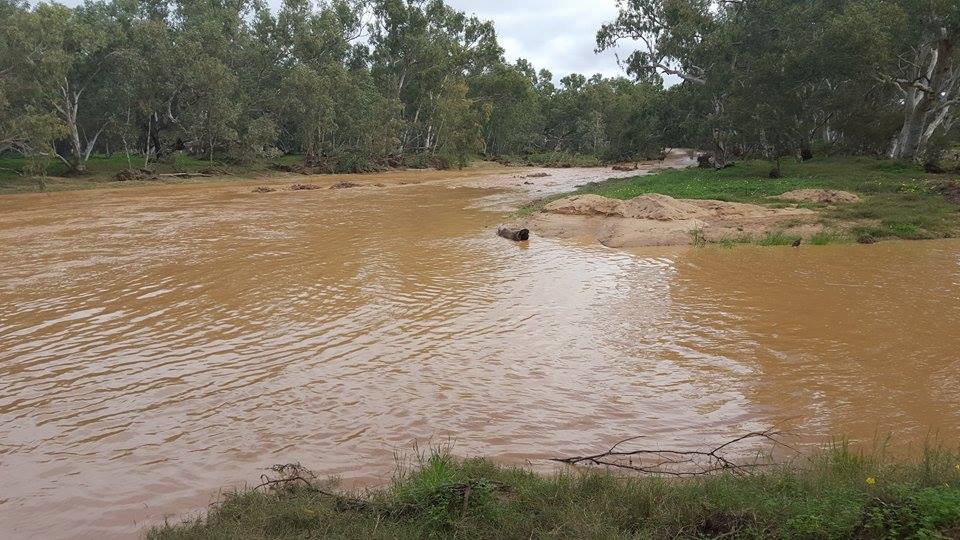
Buller river crossing, White Peak Rd
Thanks Damien for the heads up.
Geraldton News. Everything to do with Geraldton in one location. For the latest news and events happening in Geraldton, Western Australia, be sure to follow Everything Geraldton.
Caution on the roads
Buller river crossing, White Peak Rd
Thanks Damien for the heads up.

Footage sent in to Everything Geraldton of a road collapsing in Drummond Cove today.

If you live in an area southwest of a line from Geraldton to Southern Cross to Norseman to Israelite Bay you need to prepare your home and family now for the severe weather coming Saturday.
This includes people in Perth metropolitan area, Geraldton, Dalwallinu, Jurien Bay, York, Mandurah, Bunbury, Busselton, Margaret River, Bridgetown, Albany, Katanning, Narrogin, Southern Cross and Esperance and surrounding areas.
This weather is not unusual for this time of year, but could damage homes and make travel dangerous
DFES has these tips to help you and your family prepare before the bad weather starts:
As at 11.35am on Friday 20 May 2016 the Bureau of Meteorology advises the first significant cold front of the year is expected to affect southwest WA during Saturday.
The strong cold front is likely to cause widespread damaging winds to 100 kilometres per hour that could result in damage to homes and property. In isolated areas dangerous gusts in excess of 125 kilometres per hour could cause significant damage or destruction to homes and property.
Damaging winds are expected to develop about the Southwest Capes late Friday evening, extending to reach Perth to Katanning to Albany by 6:00am Saturday and Jurien Bay to Merredin to Hopetoun by late morning.
Higher than normal tides may cause flooding of low-lying coastal areas particularly along the west coast during Saturday morning around the time of high tide. Dangerous surf conditions which could cause some beach erosion are also likely.
Heavy rainfall will occur with the passage of the front with the heaviest falls expected southwest of a line Perth to Albany. Isolated thunderstorms and small hail are possible southwest of a line Perth to Albany, extending along the south coast to Esperance during Saturday afternoon and evening.
People in the southwest of WA experience a front as windy as this about 5 times per year.
Storms may be accompanied by:
After a storm SES volunteers make temporary repairs to homes that have been badly damaged, such as roofs that have been ripped off or large fallen trees on homes and cars. Please contact your insurance company to organise permanent repairs.
Visit www.dfes.wa.gov.au, call 13 DFES (13 3337), follow DFES on Twitter @dfes_wa or listen to news bulletins.
For the latest weather warnings visit www.bom.gov.au/wa/warnings or call 1300 659 213.
Thanks Murray for sharing this footage of the storm blowing across Geraldton today.
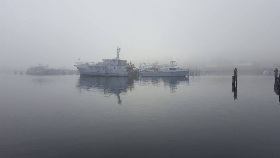
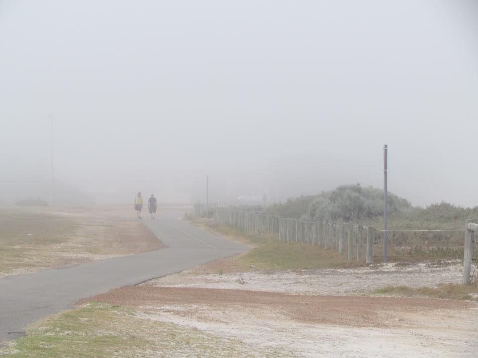
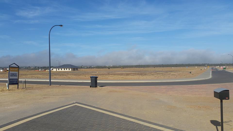
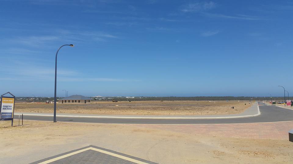
Thanks to the following folk who shared some images from Geraldton and surrounds today.
Gab Rifici
Sharon L Stutley
Sharon Williamson
Dave Tee
Linda Davis
If you'd like to add your images to this gallery email them to geraldton@justeverything.com.au
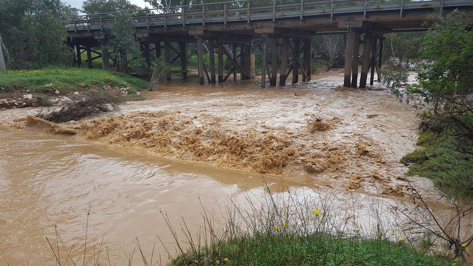
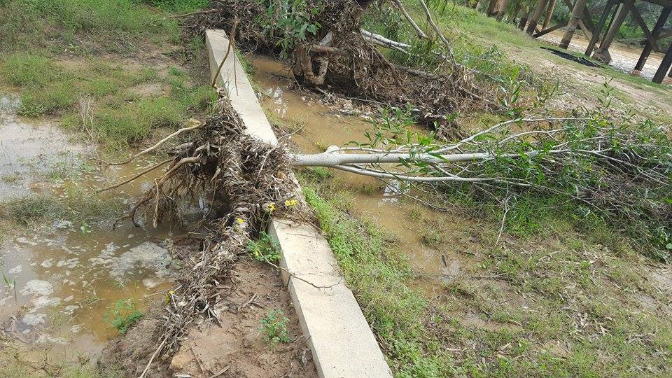
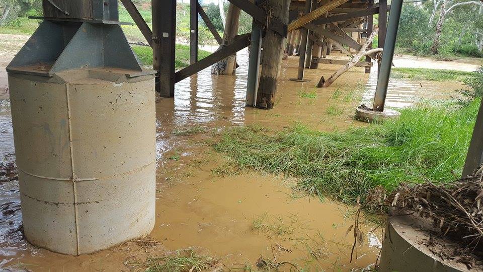
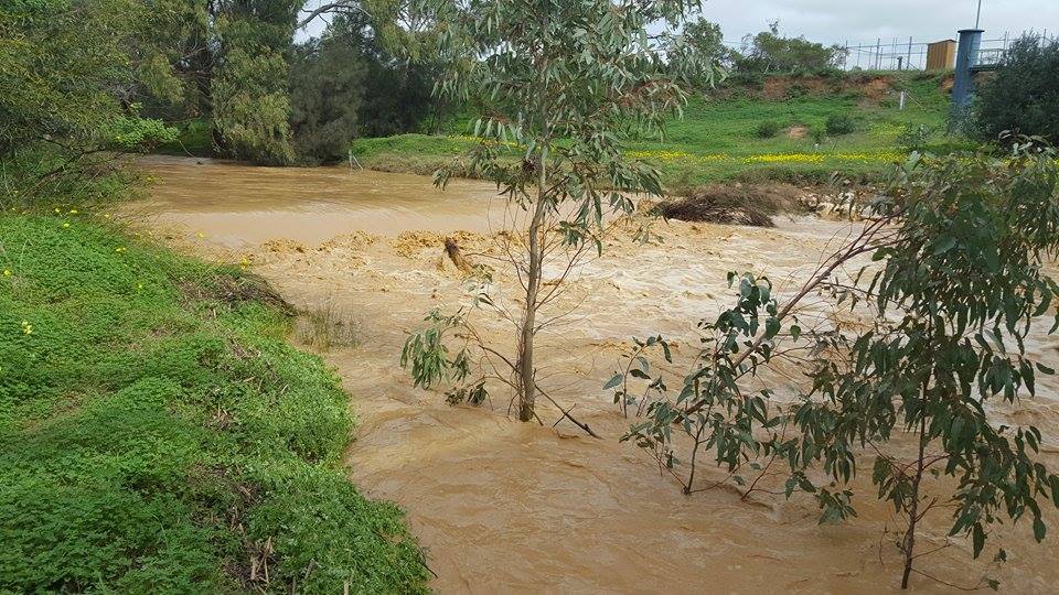
In case you missed it, here's some footage sent in last week by a community member. Shona shared footage of Mountain Bridge and Milo Crossing, east of Dongara, following heavy rains.
She said "must have come through with some force as it uprooted an entire tree, roots and all."
Mountain Bridge

Milo Crossing

Some photos also shared.

Up Next

Everything to do with Geraldton in one location.